Survey & Mapping
Discover how drones simplify survey and mapping tasks using aerial photogrammetry.
Overview

Aerial Survey
Using drones for surveying achieves the same level of topographic accuracy as traditional survey methods, while reducing time and manpower costs significantly
Aerial Mapping
Real time kinematic (RTK) drones capture mapping data with centimetre-level accuracy, enabling highly precise operations such as agriculture spot spraying and digital terrain modelling.
Why Use Drones In Survey & Mapping?

Industry-Level Data Accuracy
Real-time kinematic (RTK) drones capture rich topographic data at centimetre-level accuracy, enabling thorough terrain analysis in various formats (orthomosaic, point cloud, DTM, DSM, contour lines, etc).

Faster And More Cost-Effective
Operating on an automated navigation system, drones deliver the same quality of data at a fraction of the resources spent on traditional methods.

Excellent Performance On All Terrains
Unlike tranditional grounded methods, drones are able to traverse challenging terrain easily, ensuring consistent and seamless data delivery in all environments.
Recommended Drones
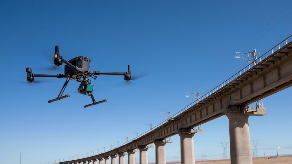
DJI Matrice 300 RTK + Zenmuse L1
The Zenmuse L1 integrates a Livox Lidar module, a high-accuracy IMU, and a camera with a 1-inch CMOS on a 3-axis stabilized gimbal. When used with Matrice 300 RTK and DJI Terra, the L1 forms a complete solution that gives you real-time 3D data throughout the day, efficiently capturing the details of complex structures and delivering highly accurate reconstructed models.
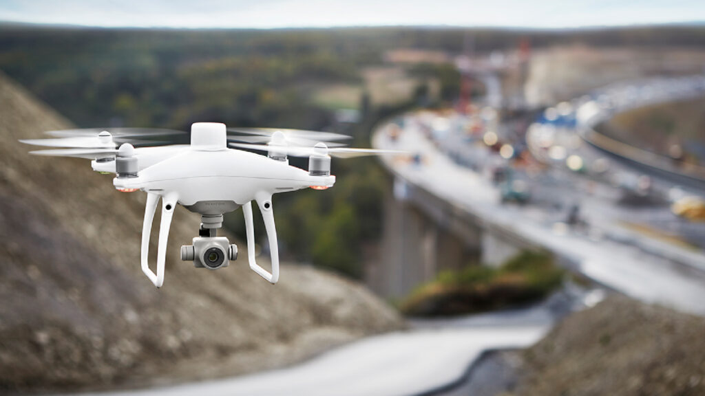
DJI Phantom 4 RTK
With a built-in flight planning app (GS RTK) and an easy method to collect RTK data (RTK Network or D-RTK 2 Mobile Station), pilots have a full solution for any surveying, mapping or inspection workflow – right out of the box.
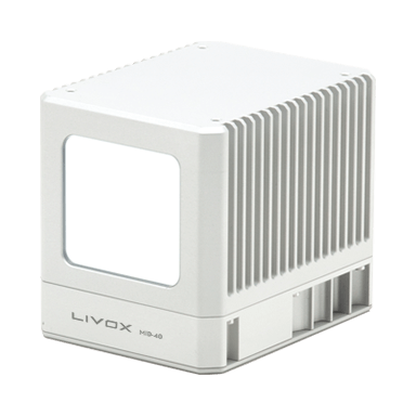
We operate a suite of LiDAR systems to provide high-quality, fast and accurate terrain mapping.
Our lidar-derived supplemental products include hydro enforcement and flattened digital elevation models (DEMs), building footprints, 3D building models, enhanced classifications, terrain slope calculations, contours, vegetation height and density and change detection.
Simplify Aerial Mapping Data Management Into Three Simple Steps
1

RTK - Calibrated Data Collection
2

Image Stitching & Photogrammetric Analysis
3

Detailed Map & Terrain Model Generation
Get In Touch
Have questions? Our drone experts are here to help